Active Tropical Cyclones (WNP)
City Weather Dashboard
Tropical Storm Risk (TSR) Tracker
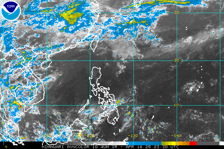
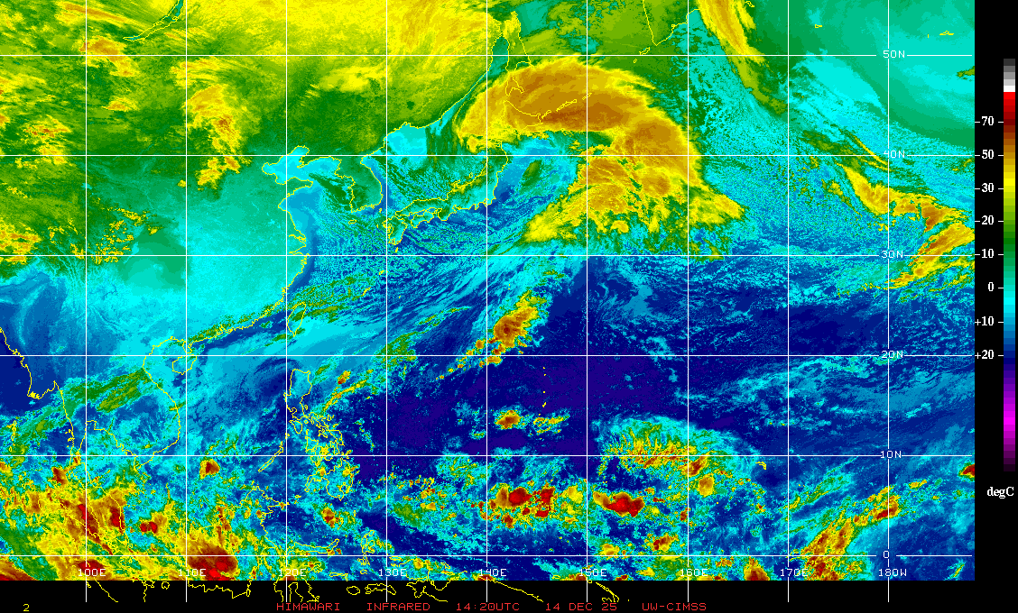
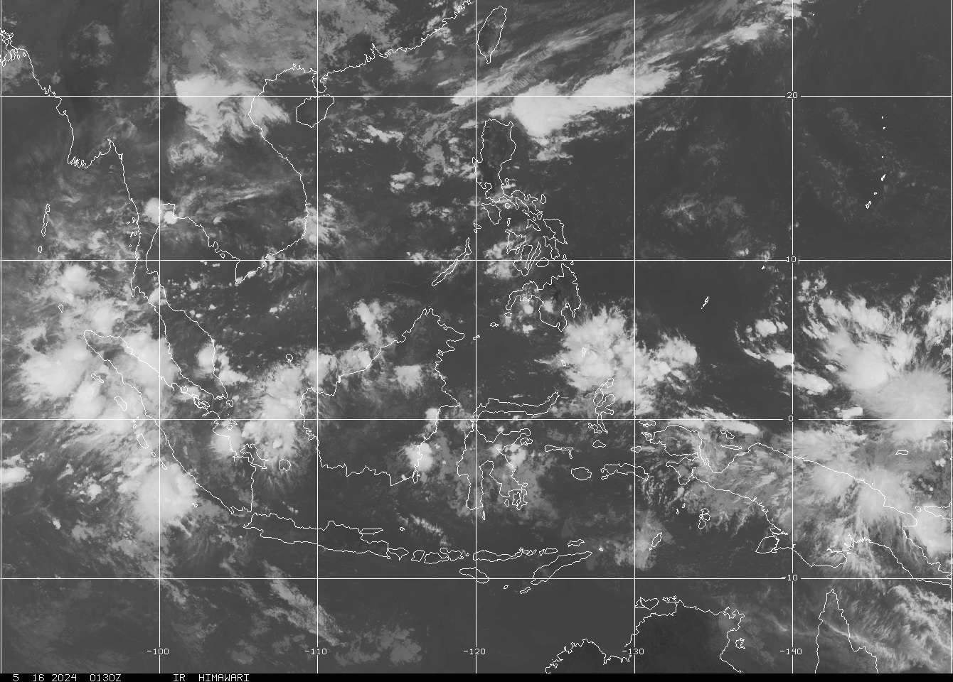
Satellite Imagery
External Resources
About
MonMin2Weather — Storm Tracker & Weather Dashboard
Real-time tropical cyclone monitoring dashboard for Vietnam and the Western Pacific region. Storm names, positions, wind speeds, and alert levels are automatically fetched from the GDACS (Global Disaster Alert and Coordination System) API provided by the Joint Research Centre (JRC) of the European Commission.
Satellite imagery is sourced from NOAA, SSEC (University of Wisconsin), and JMA. Forecast tracking data is provided by JTWC, JMA, HKO, and other national meteorological agencies. Live city weather (temperature, humidity, wind, pressure) is provided by OpenWeatherMap.
Copyright belongs to the respective third-party websites — we disclaim any copyright-related claims.
Data refreshes automatically every 5 minutes. All times shown in UTC unless otherwise noted.
Data Sources
Copyright & Fair Use Disclaimer
This project is for informational, non-commercial disaster monitoring and educational purposes only. Data feeds are sourced from GDACS. The Multi-Agency and Model tracks are gathered from the Integrated Multi-Agency TC Forecast project hosted by Typhoon2000. Satellite imagery is the property of NOAA, WMO, JMA, and SSEC. All trademarks, logos, and properties belong to their respective national meteorological agencies and organizations. We are not legally responsible for the content and copyright of third-party data sources.